 HailCore
HailCore
HailCore
Hail Detection & Alerts
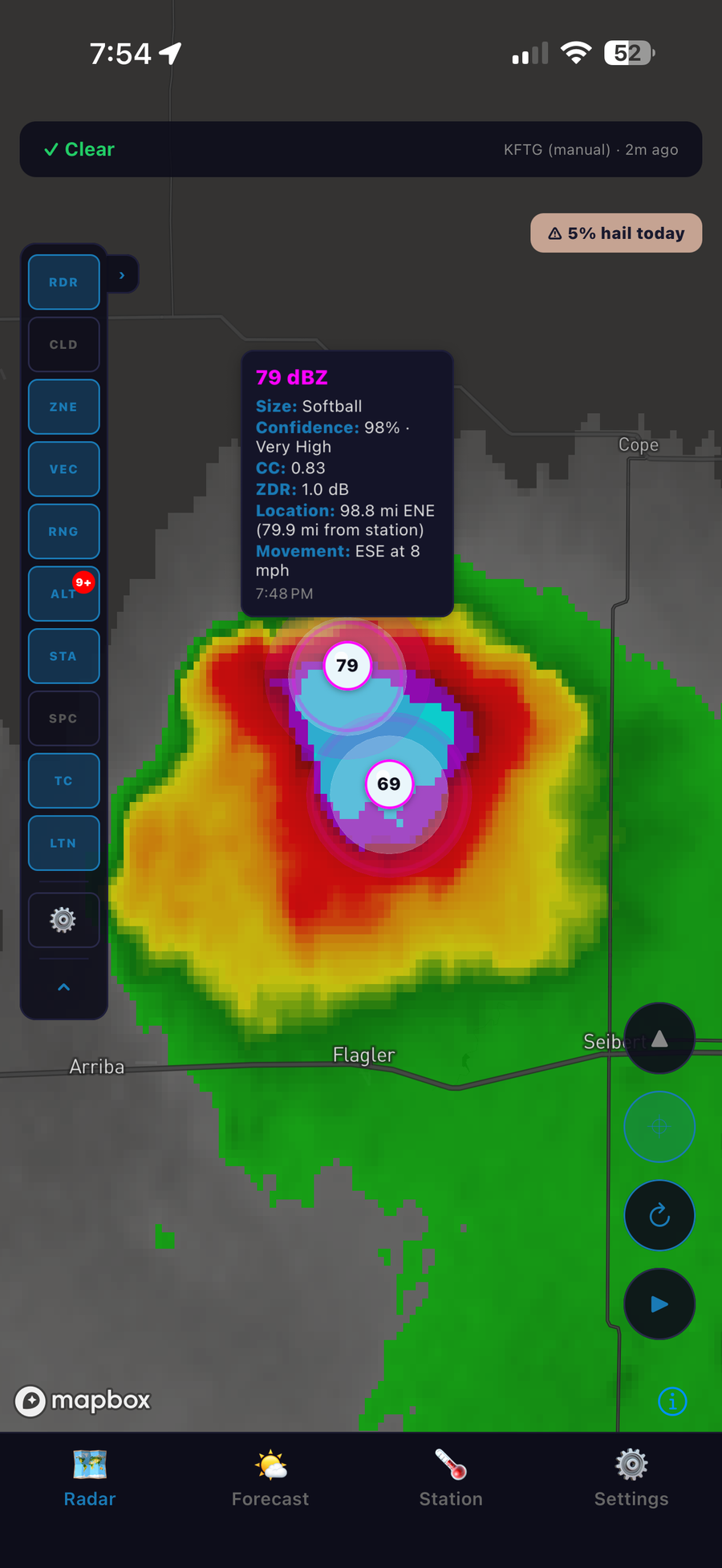
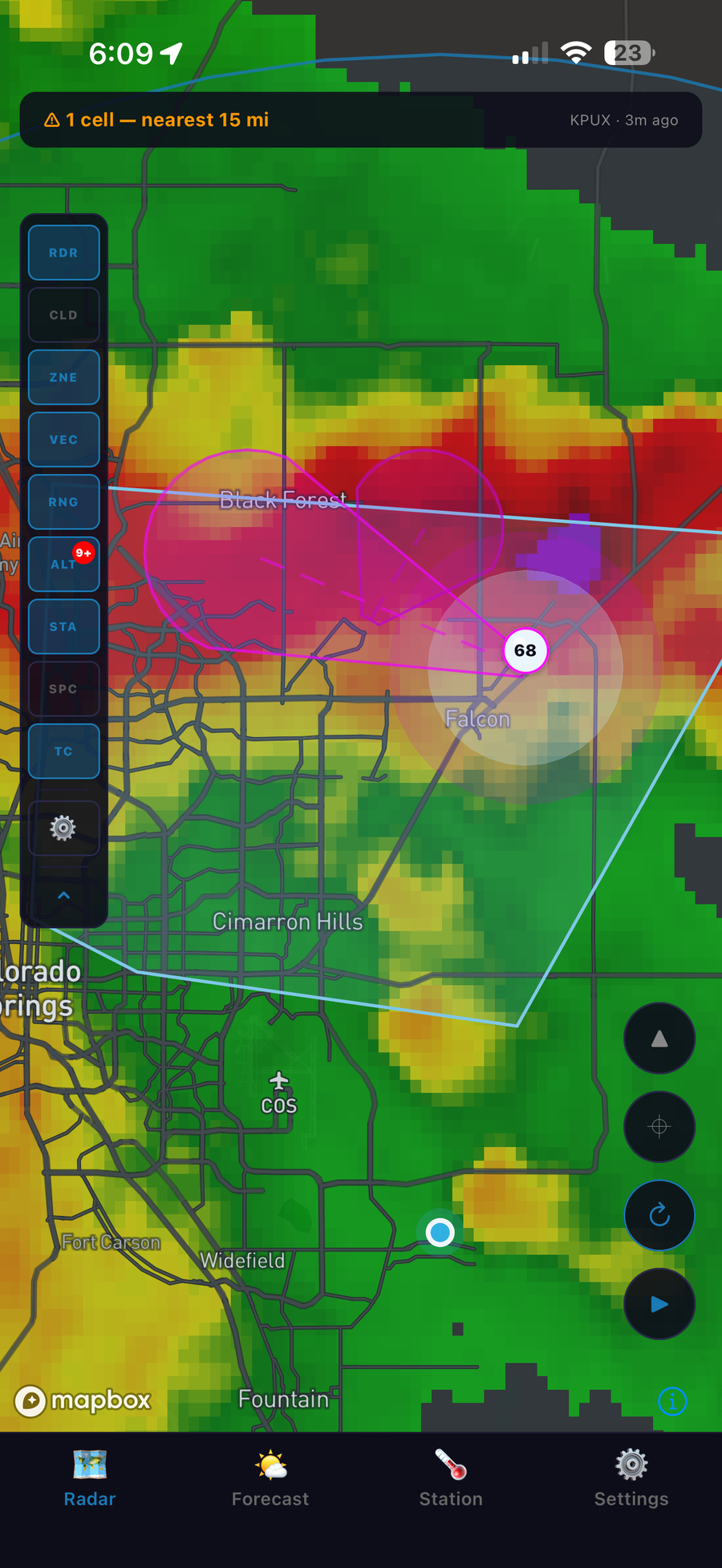
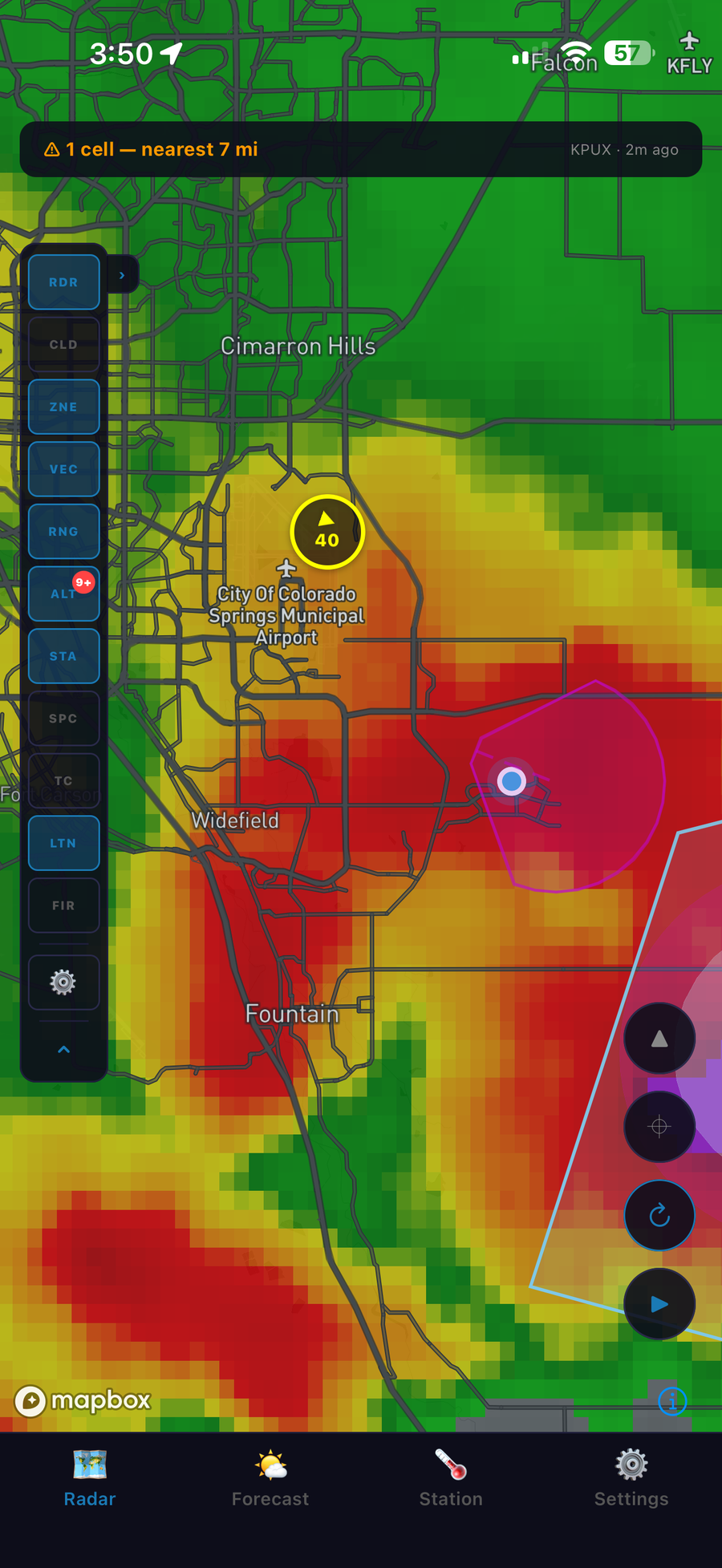
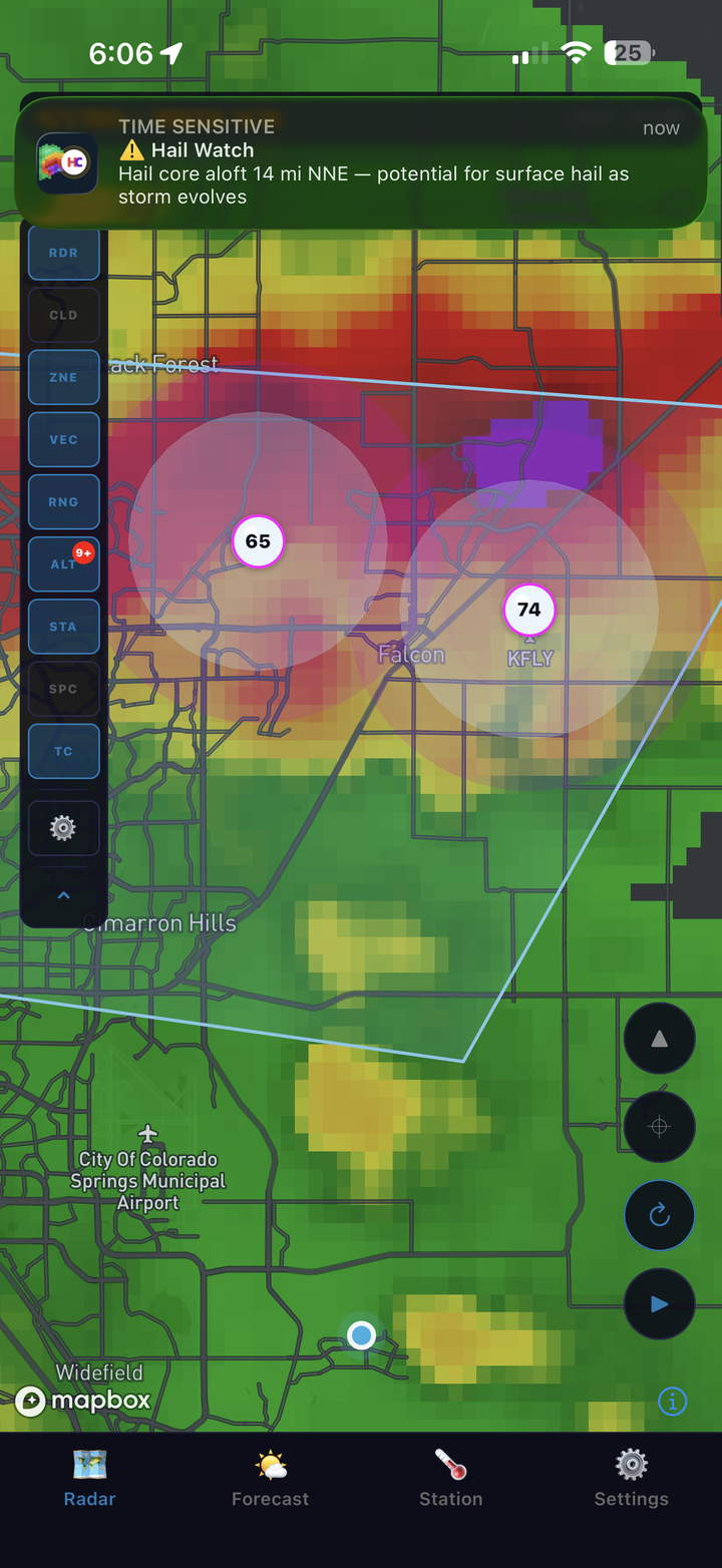
HailCore watches live NEXRAD radar for hail-producing storm cells near you and sends a push notification the moment one enters your configured alert radius.
 Coming soon to
Google Play
Coming soon to
Google Play
Self-rendered NEXRAD imagery tuned to make real hail cores unmistakable — not just another weather map.
Estimated size, classification, and dual-pol (CC/ZDR) analysis for every hail core, not just a color on a map.
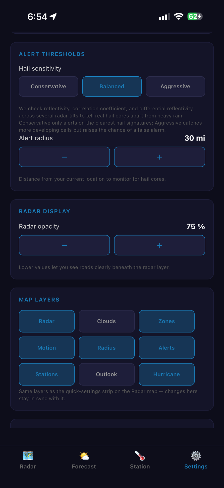
Pick Conservative, Balanced, or Aggressive sensitivity, or let Auto tune itself per storm using NOAA's hail probability. Get a push notification the moment a core enters your radius.
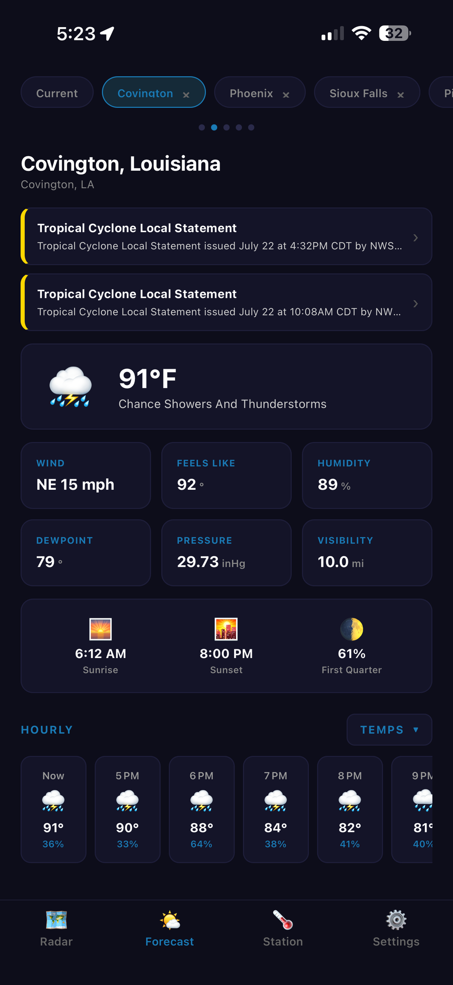
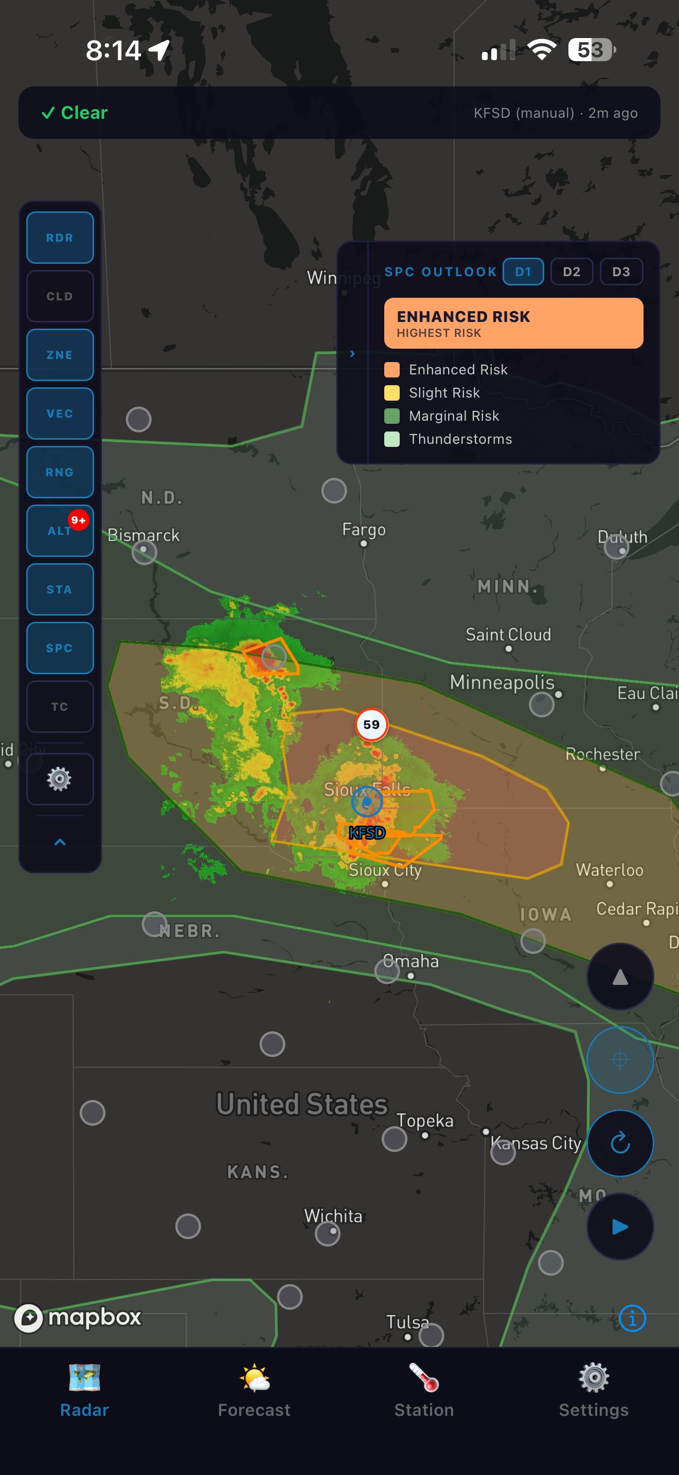
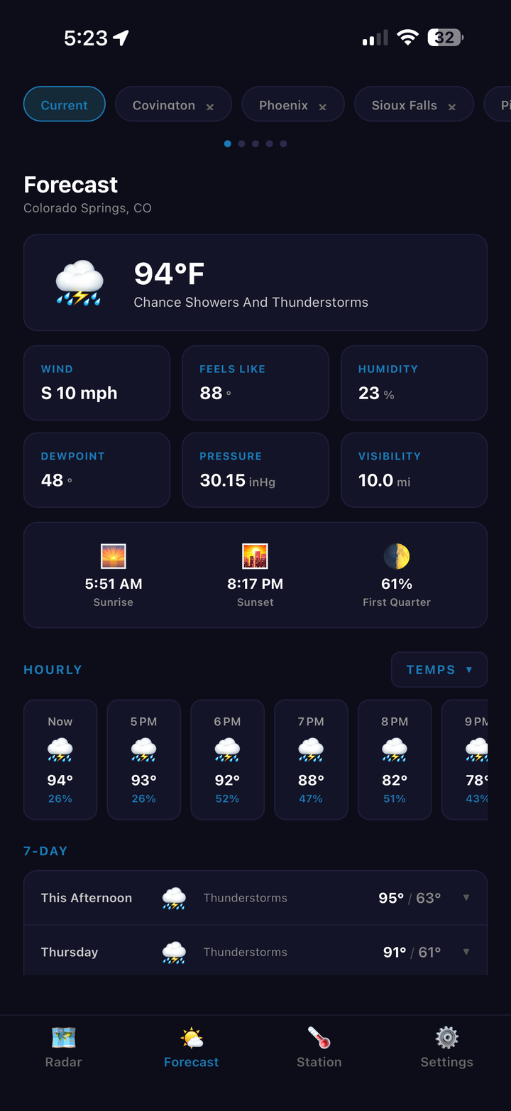
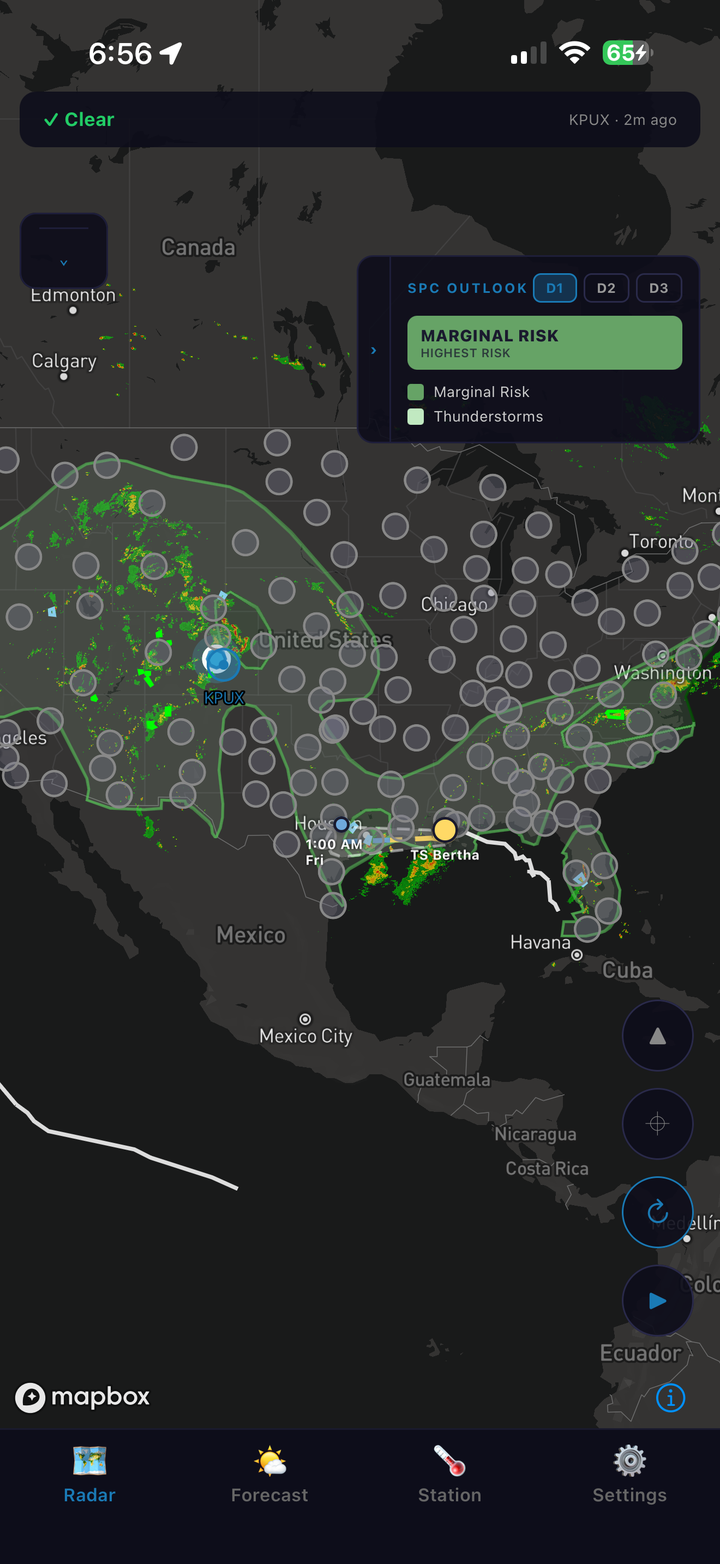
NOAA SPC convective outlook plus full hourly and 7-day forecast for your location.
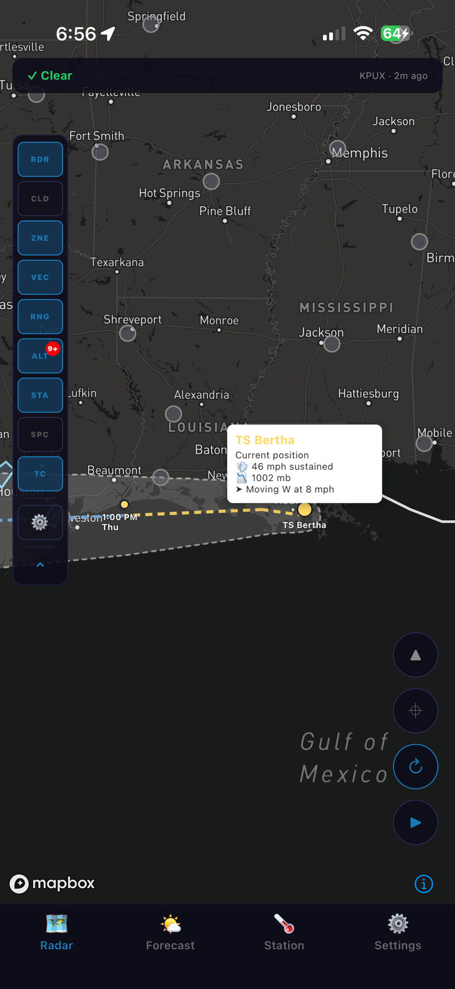
Live tropical storm track, forecast cone, and advisory points overlaid right on the radar map.
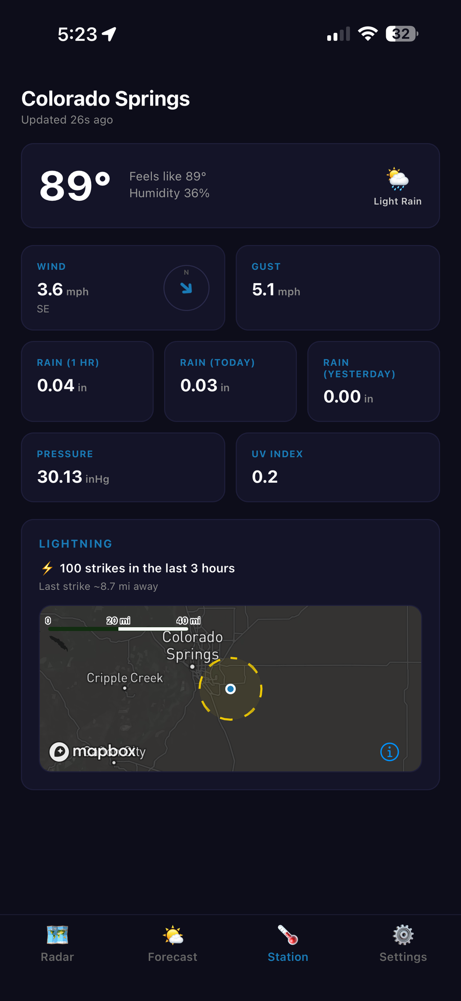
Connect a Tempest station for live local conditions, lightning strikes, wind, and rainfall.
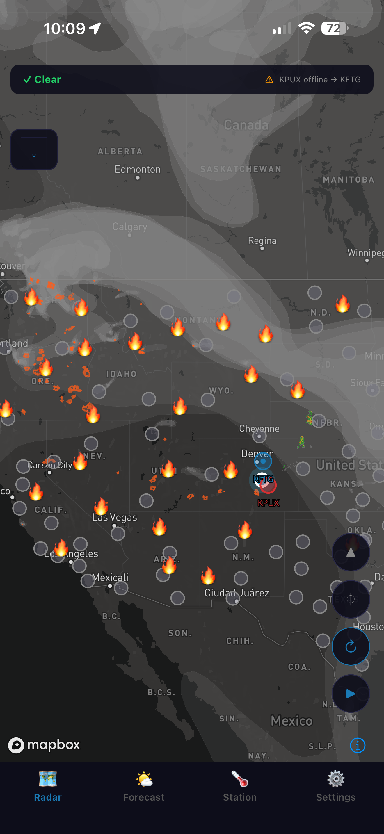
Active wildfire detections and smoke plume tracking pulled from NASA FIRMS, NIFC, and NOAA satellite data, layered right on the same map you use for storms.
Zoom out from your local view to a full CONUS-wide radar mosaic to see how a weather system is developing across the whole country.
Scrub back through recent radar frames to see exactly how a storm formed and moved before it reached you.
Real-time satellite-detected lightning flashes plotted on the map, so you can see a storm's electrical activity building even before it's overhead.
A live satellite cloud layer for reading sky conditions at a glance, independent of radar reflectivity.
Hail-risk zones drawn directly on the map so you can see at a glance where a storm's most dangerous core is heading.
Speed and direction arrows on every tracked cell, not just the ones near you, so you can see where a storm system is headed next.
Browse and switch between individual NEXRAD radar sites, handy for a closer or less obstructed view of a distant storm.
Track hail risk and forecasts for more than one place at once — a second home, family across town, or a job site.